 | ||
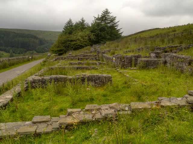
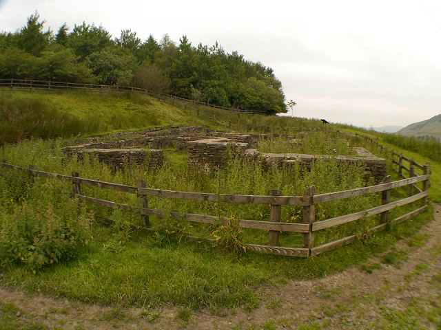
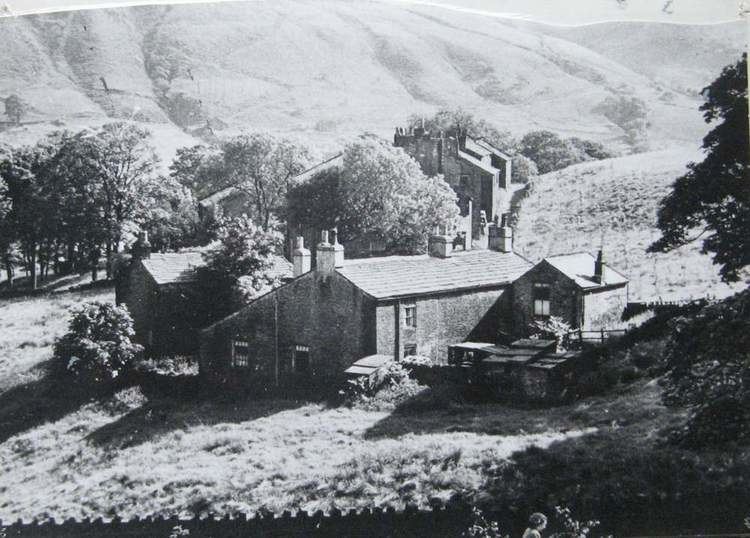
Haslingden grane farm ruins near calf hey reservoir lancashire
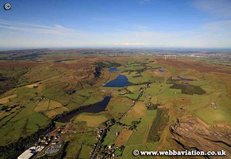
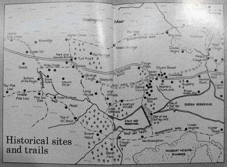
Haslingden Grane is the glaciated upper portion of the valley of the River Ogden, lying to the west of Haslingden and in the north east of the West Pennine Moors. It is easily accessible via the B6232/A6077 Grane Road which links to the M65 motorway and the A56. It contains three reservoirs: (west to east) Calf Hey Reservoir, 1860; Ogden Reservoir, 1912; and Holden Wood Reservoir, 1842.
Contents
- Haslingden grane farm ruins near calf hey reservoir lancashire
- Two monkey dogs explore calf hey reservoir at haslingden grane
- References
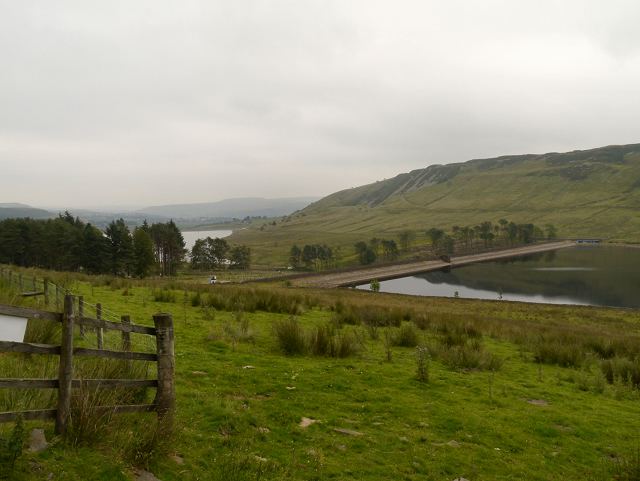
Before the construction of the reservoirs in the 19th century, the settlement of Haslingden Grane had a population of 1,300 and was the centre of an illegal whisky distilling industry. The remains of some buildings can still be seen. Much quarrying has taken place and continues at Jamestone Quarry.
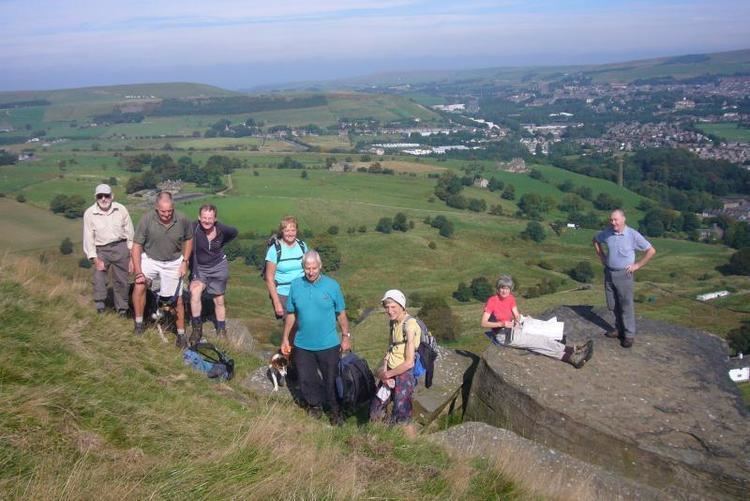
The valley is overlooked to the north by Oswaldtwistle Moor and to the south by Musbury Heights. The moorland scenery makes it a popular place for walking especially through Fairy Glen, and there is an information centre, parking and cafe at Clough Head.
Two monkey dogs explore calf hey reservoir at haslingden grane