
OS grid reference SP7850 Sovereign state United Kingdom Dialling code 01604 | Civil parish Hartwell Local time Friday 2:06 PM | |
 | ||
Population 1,815 1,875 (2011 census) Weather 9°C, Wind SW at 24 km/h, 68% Humidity | ||
Hartwell is a village and civil parish in South Northamptonshire, bordering Buckinghamshire. The village is next to Salcey Forest and the M1 motorway. It is 7 miles (11 km) south of Northampton and 13 miles (21 km) north of Milton Keynes.
Contents
Map of Hartwell, Northampton, UK
Demographics
According to the 2001 census, the parish had a population of 1,815 people in 693 household,. increasing to 1,875 at the 2011 census.
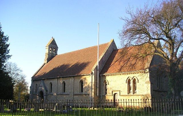
Within the village are Hartwell Parish Church, Hartwell CofE Primary School, the Rose and Crown public house, community centre, recreational ground, village shop and Conservative Club.
Hartwellians
References
Hartwell, Northamptonshire Wikipedia(Text) CC BY-SA