
Established 1856 LGA(s) Alexandrina Council Founded 1856 Local time Friday 11:45 PM | Postcode(s) 5255 State electorate(s) Hammond Postal code 5255 | |
 | ||
Region Fleurieu and Kangaroo Island Weather 14°C, Wind SW at 5 km/h, 87% Humidity | ||
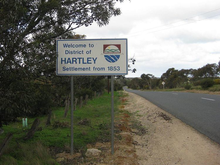
Hartley is a ghost town located in South Australia, along the Bremer River on the Strathalbyn-Callington Road.
Map of Hartley SA 5255, Australia
Founded around the year 1856 as a small rural settlement, it once boasted a Methodist church (1856), post office (opened 1869 and closed 1981), school (opened 1919 and closed 1970) and creamery. Now the town is little more than a series of ruins and farm houses.
References
Hartley, South Australia Wikipedia(Text) CC BY-SA