Country United States GNIS feature ID 1064803 Local time Friday 7:20 AM | Time zone Eastern (EST) (UTC-5) Elevation 221 m Area code 937 | |
 | ||
Weather -3°C, Wind S at 5 km/h, 67% Humidity | ||
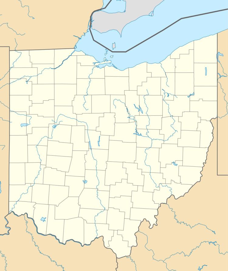
Harshaville, Ohio (also known as Harshasville) is an unincorporated community in Adams County, Ohio, in the southern part of the state.
Map of Harshasville, Oliver Township, OH 45693, USA
Harshaville was built up around the early Harsha Mill, a gristmill powered by the Cherry Fork Creek. The community was named for the local Harsha family. A post office was established at Harshaville in 1865, and remained in operation until 1909.
It is the location of Harshaville Covered Bridge, a historic bridge that is listed on the National Register of Historic Places.
References
Harshaville, Ohio Wikipedia(Text) CC BY-SA
