
Country United States Elevation 300 m Local time Friday 2:13 AM | GNIS feature ID 0479679 Area 71.7 km² Population 445 (2000) | |
 | ||
Weather 14°C, Wind S at 26 km/h, 85% Humidity | ||
Harrison Township is a township in Franklin County, Kansas, USA. As of the 2000 census, its population was 445.
Contents
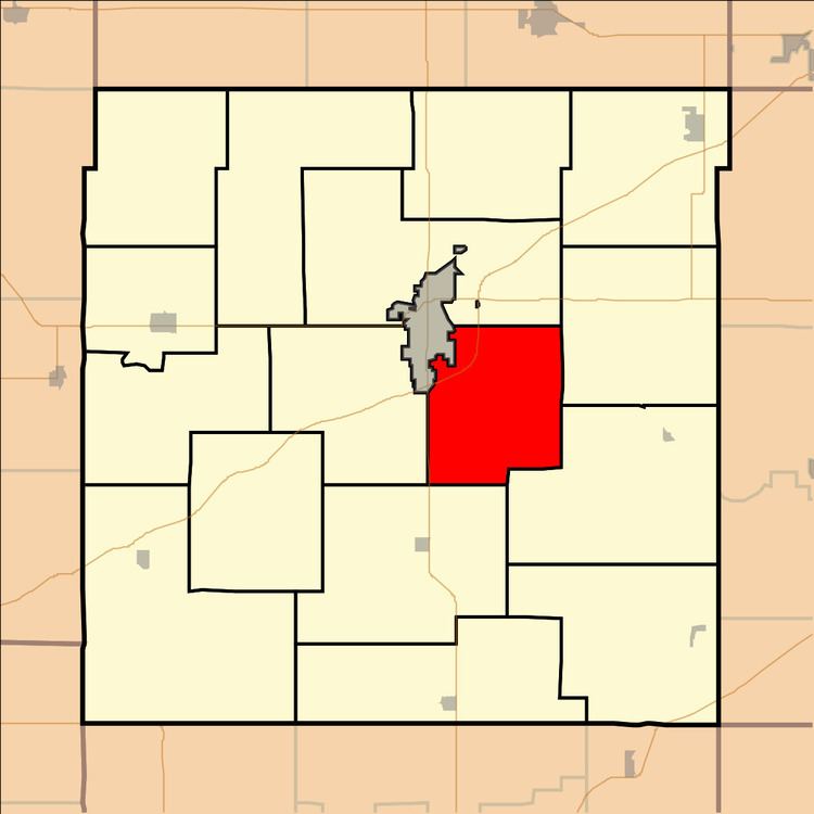
Map of Harrison, KS, USA
Geography
Harrison Township covers an area of 27.7 square miles (72 km2) and contains no incorporated settlements. According to the USGS, it contains two cemeteries: Fouts and Roselawn.
The streams of Rock Creek and Sac Branch run through this township.
Transportation
Harrison Township contains one airport or landing strip, Ottawa Municipal Airport.
References
Harrison Township, Franklin County, Kansas Wikipedia(Text) CC BY-SA