
Component
highways: R-2 R-2 Major cities Manila, Pasay, Parañaque | Length 3.2 km | |
 | ||
North end: Pablo Ocampo Street and Mabini Street in Malate South end: Aguarra Street and E. Quirino Avenue in Santo Niño | ||
Harrison avenue i wish this moment
Francis Burton Harrison Avenue, more commonly known as F.B. Harrison Avenue or simply Harrison Avenue (formerly F.B. Harrison Street or Harrison Street), is a major north-south collector road in Pasay, western Metro Manila, Philippines. It is a four-lane undivided arterial running parallel to Roxas Boulevard to the west and Taft Avenue to the east, from Pasay's border with Malate district in the north to Baclaran in Parañaque in the south. The avenue is named for U.S. Governor-General of the Philippines, Francis Burton Harrison.
Contents
- Harrison avenue i wish this moment
- Map of FB Harrison St Pasay Metro Manila Philippines
- Teen struck by car on harrison avenue
- Street description
- History
- References
Map of F.B. Harrison St, Pasay, Metro Manila, Philippines
Teen struck by car on harrison avenue
Street description
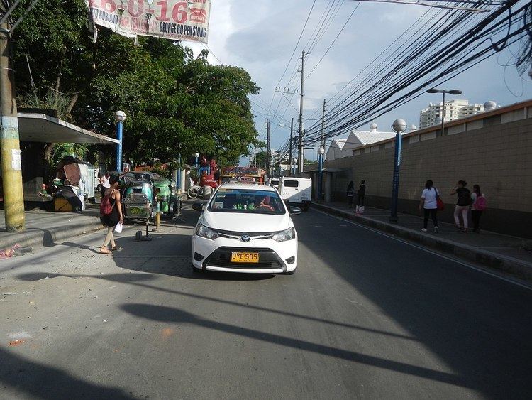
Harrison Avenue has a right-of-way width of approximately 25 meters. It is a public transportation or medium-occupancy-vehicle corridor which is frequented by intra-metropolitan jeepneys and mega-taxis. This condition gives Harrison Avenue its relatively slow-moving, congested and highly pedestrian character.
History
Harrison Avenue forms part of an old Spanish coastal highway that linked the Province of Manila to La Laguna and other southern provinces. It was called Calle Real or Camino Real (Spanish for "royal street") which spanned from Ermita to Muntinlupa. At present, only the Las Piñas and Muntinlupa section is called Calle Real or Real Street as an alternative name for the road. The Pasay portion is renamed Harrison Avenue while those of the City of Manila and Parañaque have been renamed to Del Pilar Street and Elpidio Quirino Avenue respectively.