
Population 241 (2011 Census) Civil parish Harringworth Dialling code 01572 Local time Friday 5:33 AM | OS grid reference SP9197 Sovereign state United Kingdom | |
 | ||
Weather 4°C, Wind W at 16 km/h, 78% Humidity | ||
Harringworth viaduct eyebrook reservoir
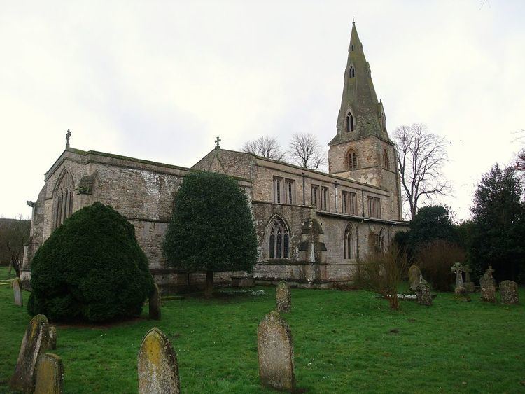
Harringworth is a village and civil parish in the East Northamptonshire district of Northamptonshire, England. It is located close to the border with Rutland, on the southern bank of the River Welland, and around 5.3 miles (8.5 km) north of Corby. At the 2001 Census, the population of the parish was 247, falling to 241 at the 2011 Census.
Contents
Map of Harringworth, Corby, UK
The area is dominated by the Welland Viaduct (known locally as the Harringworth Viaduct) that gracefully crosses the Welland and its flood plain immediately to the west of the village.
History
In 1086 was considered a large village in the hundred of Corby, one of many possessions of the Countess Judith. During the medieval period, Harringworth was associated with the la Zouche family who were Lords of the Manor and, commencing with William la Zouche, 1st Baron Zouche, were summoned to Parliament as Barons.