
Country United States County Wexford FIPS code 26-36720 Elevation 349 m Zip code 49638 Population 144 (2013) | Time zone Eastern (EST) (UTC-5) GNIS feature ID 1620134 Area 241 ha Local time Friday 1:11 AM Area code 231 | |
 | ||
Weather -6°C, Wind N at 0 km/h, 68% Humidity | ||
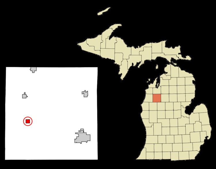
Harrietta is a village in Wexford County of the U.S. state of Michigan. The population was 143 at the 2010 census. The village is on the boundary between Slagle Township on the west and Boon Township on the east, with about half of the village in each.
Contents
Map of Harrietta, MI 49638, USA
Harrietta was first platted by James M. Ashley in 1889. It was incorporated as a village in 1891 with the name of Gaston. It was named Hariette in 1892 and the present spelling was adopted in 1923. Harrietta is a combination of the names of a railroad official, Harry, and that of his wife, Henrietta.
Village infrastructure
Although the village's main street has a line of store fronts, Harrietta has no working business, shops, or active buildings besides its post office. In the surrounding area you can find a fish hatchery that has provided some jobs to the local residents. The nearest store is M37 Market, a gas station/convenience store, at the corner of M-37 and South 30 Rd.
Geography
According to the United States Census Bureau, the village has a total area of 0.93 square miles (2.41 km2), all land.
2010 census
As of the census of 2010, there were 143 people, 60 households, and 40 families residing in the village. The population density was 153.8 inhabitants per square mile (59.4/km2). There were 103 housing units at an average density of 110.8 per square mile (42.8/km2). The racial makeup of the village was 94.4% White, 0.7% African American, 0.7% Asian, and 4.2% from two or more races. Hispanic or Latino of any race were 4.2% of the population.
There were 60 households of which 21.7% had children under the age of 18 living with them, 53.3% were married couples living together, 5.0% had a female householder with no husband present, 8.3% had a male householder with no wife present, and 33.3% were non-families. 26.7% of all households were made up of individuals and 10% had someone living alone who was 65 years of age or older. The average household size was 2.38 and the average family size was 2.80.
The median age in the village was 46.1 years. 21% of residents were under the age of 18; 4.2% were between the ages of 18 and 24; 23.1% were from 25 to 44; 34.3% were from 45 to 64; and 17.5% were 65 years of age or older. The gender makeup of the village was 53.8% male and 46.2% female.
2000 census
As of the census of 2000, there were 169 people, 63 households, and 43 families residing in the village. The population density was 182.0 per square mile (70.2/km²). There were 93 housing units at an average density of 100.2 per square mile (38.6/km²). The racial makeup of the village was 98.22% White, 0.59% from other races, and 1.18% from two or more races. Hispanic or Latino of any race were 4.73% of the population.
There were 63 households out of which 27.0% had children under the age of 18 living with them, 54.0% were married couples living together, 12.7% had a female householder with no husband present, and 30.2% were non-families. 23.8% of all households were made up of individuals and 12.7% had someone living alone who was 65 years of age or older. The average household size was 2.68 and the average family size was 3.18.
In the village, the population was spread out with 26.6% under the age of 18, 8.3% from 18 to 24, 28.4% from 25 to 44, 20.1% from 45 to 64, and 16.6% who were 65 years of age or older. The median age was 37 years. For every 100 females there were 96.5 males. For every 100 females age 18 and over, there were 90.8 males.
The median income for a household in the village was $33,500, and the median income for a family was $34,286. Males had a median income of $28,125 versus $31,563 for females. The per capita income for the village was $15,258. About 4.8% of families and 6.9% of the population were below the poverty line, including 5.6% of those under the age of eighteen and none of those sixty five or over.