
Country India District davangere PIN 583131 Elevation 633 m Population 302,003 (2011) | State Karnataka Time zone IST (UTC+5:30) Telephone code 08398 Area 6.98 km² Local time Friday 8:51 AM | |
 | ||
Weather 25°C, Wind W at 8 km/h, 71% Humidity Neighborhoods Ward Number 7, Basaveshwara Layout, Valmiki Nagar, 8th Ward | ||
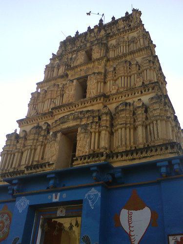
Harpanahalli is a town in Davangere district in the Indian state of Karnataka.
Contents
Map of Harpanahalli, Karnataka 583131
Geography
Harpanahalli is located at 14.8°N 75.98°E / 14.8; 75.98. It has an average elevation of 633 metres (2076 feet). Harapanahalli is the third biggest town in Davangere district next to Harihar. Davangere district being heart of the state, Harapanahalli is situated at its center being heart/center Taluk in the whole state. Harapanahalli is one of the oldest trading center since Madras presidency apart from Education center.
Demographics
As of 2001 India census, Harpanahalli had a population of 41,889. Males constitute 52% of the population and females 48%. Harpanahalli has an average literacy rate of 55%, lower than the national average of 59.5%: male literacy is 60%, and female literacy is 48%. In Harpanahalli, 14% of the population is under 6 years of age.
Nearest Railway Station
The Nearest Railway Station is Harapanahalli(1.5 km) which is inaugurated in March 2014.
Education
There are several primary schools and high schools in Harpanahalli. College level educational institutions include the Pharmacy College and the Government Junior college.