
Time zone IST (UTC+5:30) STD 0132 Elevation 276 m Population 3,919 (2011) | PIN 247769 Vehicle registration UP11 XXXX Local time Friday 6:55 AM Area code 0132 | |
 | ||
Weather 13°C, Wind NW at 3 km/h, 79% Humidity | ||
Harora Aht. (Hindi: हरोरा आहत) is a village in Puwarka Tehsil of Saharanpur district in the Indian state of Uttar Pradesh. It is about 583 kilometers from the state capital Lucknow and 193 kilometers from the national capital Delhi.
Contents
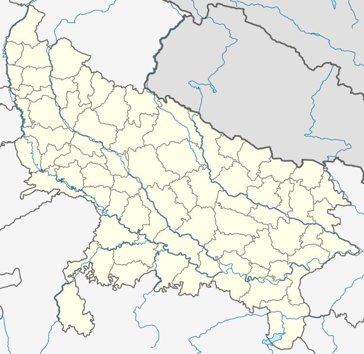
Map of Harora Aht., Uttar Pradesh
Demography
Harora Aht. has a total population of 3,919 people in 601 families. Sex ratio of Harora Aht. is 937 and child sex ratio is 952. Both the ratios are higher than that of Uttar Pradesh state average of 912 and 902 respectively.
Transportation
Harora Aht. can be accessed by road and by Indian railways. Closest railway station to Harora Aht. is Sunehti Kharkhari (8 km). Nearest operational airports are Dehradun airport (77 kilometers), Chandigarh Airport (144 kilometers) and Delhi airport (204 kilometers).
References
Harora Aht. Wikipedia(Text) CC BY-SA