
Country United States Time zone Eastern (EST) (UTC-5) FIPS code 36-32248 Elevation 518 m Population 2,206 (2010) | GNIS feature ID 0979048 Local time Thursday 7:42 PM | |
 | ||
Weather -3°C, Wind W at 21 km/h, 56% Humidity Area 118.1 km² (10.36 km² Land / 52 ha Water) | ||
Harmony is a town in Chautauqua County, New York, United States. The population was 2,206 at the 2010 census. The town is on the south border of the county and southwest of Jamestown.
Contents
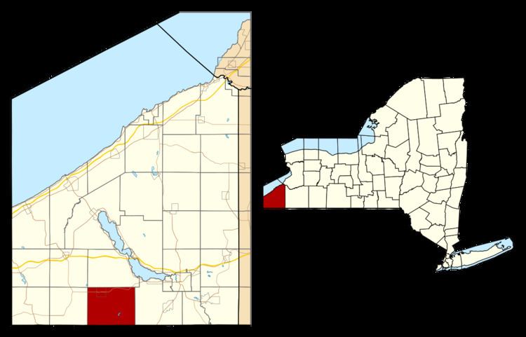
- Map of Harmony NY USA
- History
- Residents of note
- Geography
- Adjacent towns and regions
- Demographics
- Communities and locations in Harmony
- References
Map of Harmony, NY, USA
History
First settlement began around 1809. The town of Harmony was established in 1816 from a part of the town of Chautauqua. The size of Harmony was reduced when the newer towns of Busti and North Harmony were formed.
Residents of note
Geography
According to the United States Census Bureau, the town has a total area of 45.6 square miles (118.0 km2), of which 45.4 square miles (117.6 km2) is land and 0.15 square miles (0.4 km2), or 0.35%, is water.
New York State Route 474 is a major east-west highway through the north part of the town.
Adjacent towns and regions
Harmony is bordered to the south by Columbus Township, the borough of Bear Lake, Freehold Township, and Sugar Grove Township, all in Warren County, Pennsylvania. The town to the north is North Harmony. On the east is the town of Busti, and on the west is the town of Clymer.
Demographics
As of the census of 2000, there were 2,339 people, 837 households, and 662 families residing in the town. The population density was 51.4 people per square mile (19.8/km²). There were 931 housing units at an average density of 20.5 per square mile (7.9/km²). The racial makeup of the town was 97.95% White, 0.38% African American, 0.26% Native American, 0.09% Asian, 0.13% from other races, and 1.20% from two or more races. Hispanic or Latino of any race were 0.47% of the population.
There were 837 households out of which 37.6% had children under the age of 18 living with them, 67.5% were married couples living together, 8.6% had a female householder with no husband present, and 20.9% were non-families. 16.8% of all households were made up of individuals and 8.0% had someone living alone who was 65 years of age or older. The average household size was 2.79 and the average family size was 3.15.
In the town, the population was spread out with 28.7% under the age of 18, 7.6% from 18 to 24, 27.9% from 25 to 44, 24.2% from 45 to 64, and 11.7% who were 65 years of age or older. The median age was 37 years. For every 100 females there were 98.9 males. For every 100 females age 18 and over, there were 100.0 males.
The median income for a household in the town was $32,578, and the median income for a family was $39,167. Males had a median income of $31,927 versus $19,122 for females. The per capita income for the town was $15,292. About 8.6% of families and 10.6% of the population were below the poverty line, including 15.7% of those under age 18 and 3.9% of those age 65 or over.