
Country Canada Established 1896 Time zone EST (UTC-5) Area code Area codes 705 and 249 Local time Thursday 5:38 PM | District Timiskaming Incorporated 1904 Postal Code P0J 1P0 Population 539 (2011) | |
 | ||
Weather -2°C, Wind NW at 27 km/h, 34% Humidity | ||
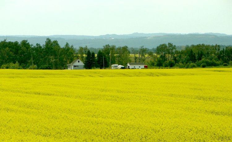
Harley is a township in the Canadian province of Ontario. Located within the Timiskaming District, Harley is located directly north of the city of Temiskaming Shores.
Contents
Map of Harley, ON, Canada
It is believed to be named in honour of Archibald Harley, former Member of Parliament for Oxford South.
Arnold Peters, a Member of Parliament from 1957 to 1980, was born in Uno Park.
Communities
The township's main settlement is the community of Hanbury. The ghost town of Uno Park is also located within the township.
History
In 1896, the township was opened up for settlement. Settlers arrived first by boat on the Wabi Creek and later on via the North Dymond and Harley Road (since 1937 known as Highway 11). It was incorporated in 1904.
Initially the land was covered with spruce, tamarack, cedar, and poplar, that supported a thriving lumber industry. Having been cleared of most forests, Harley's main economic activity shifted to agriculture.
Demographics
Population:
Private dwellings, excluding seasonal cottages: 205 (total: 205)
Mother tongue: