
Area 245.4 km² | Time zone BST (UTC+6) | |
 | ||
Website Official Map of Harirampur | ||
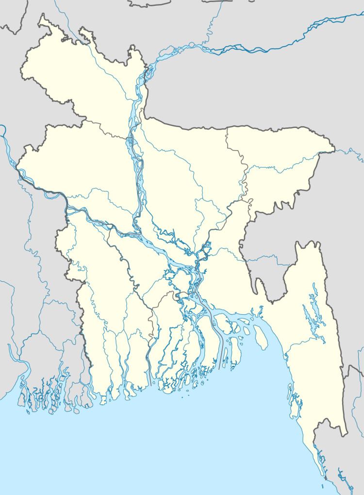
Harirampur (Bengali: হরিরামপুর) is an Upazila of Manikganj District in the Division of Dhaka, Bangladesh.
Contents
Geography
Harirampur is located at 23.7333°N 89.9667°E / 23.7333; 89.9667 . It has 30,136 households and a total area of 245.42 km².
Demographics
According to the 2001 Bangladesh census, Harirampur had a population of 171,274. Males constituted 84,994, and females 86,280. The population of those aged 18 and older was 80,752. Harirampur had an average literacy rate of 30.2% (7+ years), against the national average of 32.4%.
Administration
Harirampur has 13 Unions/Wards, 210 Mauzas/Mahallas, and 253 villages.
Education
The district is served by Patgram Anath Bandhu Government High School.
References
Harirampur Upazila Wikipedia(Text) CC BY-SA