
PIN 741252 Area 168.6 km² Area code 03216 | Time zone IST (UTC+5:30) Telephone code 91 3473 Elevation 13 m | |
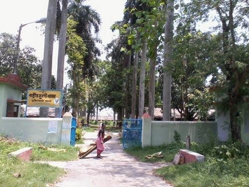 | ||
A short weekend bike trip to haringhata nadia
Haringhata is a town and municipality in Kalyani subdivision of Nadia District in the Indian state of West Bengal.
Contents
- A short weekend bike trip to haringhata nadia
- Map of Haringhata West Bengal 741249
- Geography
- Economy
- Education
- References
Map of Haringhata, West Bengal 741249
Geography
Haringhata is located at 22.95°N 88.57°E / 22.95; 88.57. It has an average elevation of 10 metres (33 feet).
Economy
The Reliance group have evinced interest in the Haringhata Dairy. They have plans to enter the food business. Consultants have recommended that four government dairies be placed in the joint sector.
Education
References
Haringhata Wikipedia(Text) CC BY-SA