
Country United States GNIS feature ID 508188 Local time Thursday 2:37 PM | Time zone Eastern (EST) (UTC-5) Elevation 279 m | |
 | ||
Weather 4°C, Wind NW at 10 km/h, 32% Humidity | ||
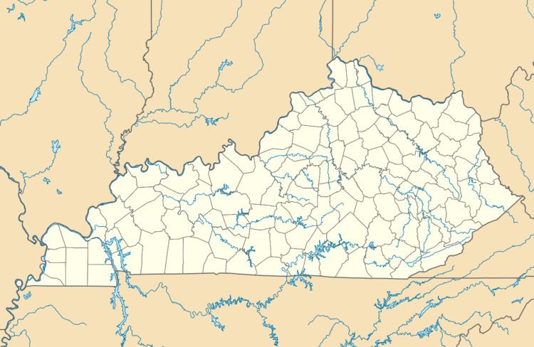
Hargis is an unincorporated community in Johnson County, Kentucky, United States. It is located at an elevation of 915 feet (279 m). It is located in the ZIP Code Tabulation Area (ZCTA) for ZIP code 41238.
Map of Hargis, Kentucky 41238, USA
References
Hargis, Kentucky Wikipedia(Text) CC BY-SA