
Country United States FIPS code 27-27116 Elevation 489 m Zip code 56134 Local time Thursday 12:17 PM | Time zone Central (CST) (UTC-6) GNIS feature ID 0644664 Area 4.51 km² Population 194 (2013) Area code 507 | |
 | ||
Weather 2°C, Wind S at 27 km/h, 70% Humidity | ||
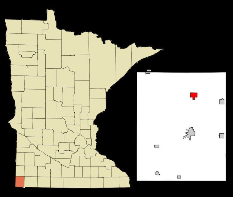
Hardwick is a city in Rock County, Minnesota, United States. The population was 198 at the 2010 census.
Contents
Map of Hardwick, MN 56134, USA
History
Hardwick was platted in 1892, and named after J. L. Hardwick, a railroad official. A post office has been in operation at Hardwick since 1891. Hardwick was incorporated in 1898.
Geography
According to the United States Census Bureau, the city has a total area of 1.74 square miles (4.51 km2), all of it land.
2010 census
As of the census of 2010, there were 198 people, 87 households, and 52 families residing in the city. The population density was 113.8 inhabitants per square mile (43.9/km2). There were 103 housing units at an average density of 59.2 per square mile (22.9/km2). The racial makeup of the city was 98.0% White and 2.0% Native American. Hispanic or Latino of any race were 1.5% of the population.
There were 87 households of which 24.1% had children under the age of 18 living with them, 43.7% were married couples living together, 11.5% had a female householder with no husband present, 4.6% had a male householder with no wife present, and 40.2% were non-families. 36.8% of all households were made up of individuals and 19.5% had someone living alone who was 65 years of age or older. The average household size was 2.28 and the average family size was 2.92.
The median age in the city was 44 years. 23.7% of residents were under the age of 18; 10.7% were between the ages of 18 and 24; 18.1% were from 25 to 44; 27.3% were from 45 to 64; and 20.2% were 65 years of age or older. The gender makeup of the city was 44.4% male and 55.6% female.
2000 census
As of the census of 2000, there were 222 people, 96 households, and 62 families residing in the city. The population density was 127.6 people per square mile (49.3/km²). There were 104 housing units at an average density of 59.8 per square mile (23.1/km²). The racial makeup of the city was 97.75% White and 2.25% Native American. Hispanic or Latino of any race were 0.90% of the population.
There were 96 households out of which 29.2% had children under the age of 18 living with them, 49.0% were married couples living together, 10.4% had a female householder with no husband present, and 35.4% were non-families. 32.3% of all households were made up of individuals and 19.8% had someone living alone who was 65 years of age or older. The average household size was 2.31 and the average family size was 2.92.
In the city, the population was spread out with 27.5% under the age of 18, 4.5% from 18 to 24, 24.3% from 25 to 44, 23.4% from 45 to 64, and 20.3% who were 65 years of age or older. The median age was 40 years. For every 100 females there were 89.7 males. For every 100 females age 18 and over, there were 91.7 males.
The median income for a household in the city was $29,583, and the median income for a family was $37,813. Males had a median income of $30,556 versus $23,750 for females. The per capita income for the city was $13,822. About 8.3% of families and 12.8% of the population were below the poverty line, including 24.3% of those under the age of eighteen and none of those sixty five or over.
Politics
Hardwick is located in Minnesota's 1st congressional district, represented by Mankato educator Tim Walz, a Democrat. At the state level, Hardwick is located in Senate District 22, represented by Republican Doug Magnus, and in House District 22A, represented by Republican Joe Schomacker.