
Country United States FIPS code 27-27098 Elevation 384 m Population 126 (2013) | Time zone Central (CST) (UTC-6) GNIS feature ID 0644659 Area 8.44 km² Local time Thursday 11:15 AM | |
 | ||
Weather 2°C, Wind SE at 18 km/h, 51% Humidity | ||
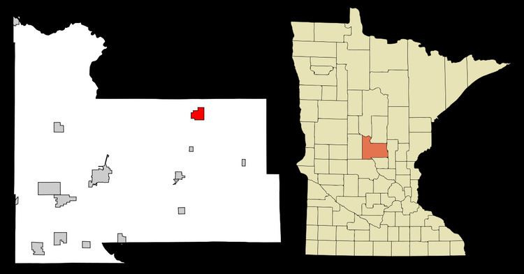
Harding is a city in Morrison County, Minnesota, United States, along the Platte River. The population was 125 at the 2010 census.
Contents
Map of Harding, MN 56364, USA
Geography
According to the United States Census Bureau, the city has a total area of 3.26 square miles (8.44 km2), all of it land.
2010 census
As of the census of 2010, there were 125 people, 44 households, and 26 families residing in the city. The population density was 38.3 inhabitants per square mile (14.8/km2). There were 47 housing units at an average density of 14.4 per square mile (5.6/km2). The racial makeup of the city was 100.0% White.
There were 44 households of which 29.5% had children under the age of 18 living with them, 45.5% were married couples living together, 6.8% had a female householder with no husband present, 6.8% had a male householder with no wife present, and 40.9% were non-families. 36.4% of all households were made up of individuals and 20.4% had someone living alone who was 65 years of age or older. The average household size was 2.23 and the average family size was 3.00.
The median age in the city was 44.5 years. 23.2% of residents were under the age of 18; 2.4% were between the ages of 18 and 24; 25.6% were from 25 to 44; 33.6% were from 45 to 64; and 15.2% were 65 years of age or older. The gender makeup of the city was 60.8% male and 39.2% female.
2000 census
As of the census of 2000, there were 105 people, 40 households, and 26 families residing in the city. The population density was 32.2 people per square mile (12.4/km²). There were 43 housing units at an average density of 13.2 per square mile (5.1/km²). The racial makeup of the city was 100.00% White.
There were 40 households out of which 20.0% had children under the age of 18 living with them, 50.0% were married couples living together, 5.0% had a female householder with no husband present, and 35.0% were non-families. 30.0% of all households were made up of individuals and 22.5% had someone living alone who was 65 years of age or older. The average household size was 2.63 and the average family size was 2.54.
In the city, the population was spread out with 11.4% under the age of 18, 5.7% from 18 to 24, 22.9% from 25 to 44, 41.0% from 45 to 64, and 19.0% who were 65 years of age or older. The median age was 50 years. For every 100 females there were 144.2 males. For every 100 females age 18 and over, there were 173.5 males.
The median income for a household in the city was $35,000, and the median income for a family was $41,250. Males had a median income of $22,125 versus $14,375 for females. The per capita income for the city was $18,060. There were 25.0% of families and 26.5% of the population living below the poverty line, including 36.4% of under eighteens and 50.0% of those over 64.