
Country United States Time zone Central (CST) (UTC-6) Elevation 506 m Population 85 (2000) | Organized 1910 FIPS code 38-35220 Local time Thursday 6:31 AM Area code 701 | |
 | ||
Weather -4°C, Wind E at 18 km/h, 98% Humidity Area 112.9 km² (112.7 km² Land / 16 ha Water) | ||
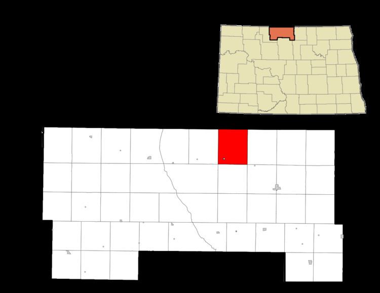
Haram Township is a civil township in Bottineau County in the U.S. State of North Dakota. As of the 2000 census, its population was 85.
Contents
- Map of Haram ND 58783 USA
- History
- Schools
- Geography
- Natural features
- Cities and populated places
- References
Map of Haram, ND 58783, USA
History
Haram Township was organized in 1910 from Mountain View School Township in 1910. The 1910 Census recorded a population of 424 in the township.
Early Norwegian settlers in the area named the township after Haram, Norway.
Schools
Geography
Haram Township is located in survey townships 163N and 164N, Range 77W. Township 164N, Range 77W is a fractional township containing less than the standard 36 sections of land, due its location along the U.S. border with Canada.
Natural features
Cities and populated places
References
Haram Township, Bottineau County, North Dakota Wikipedia(Text) CC BY-SA