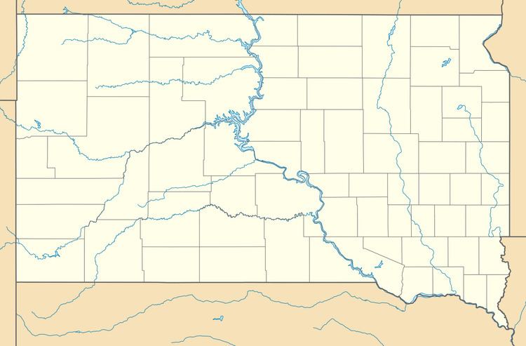
Country United States GNIS feature ID 1261765 Local time Wednesday 6:01 PM | Time zone Mountain (MST) (UTC-7) Elevation 1,728 m Area code 605 | |
 | ||
Weather 15°C, Wind W at 2 km/h, 35% Humidity | ||
Hanna is a small unincorporated community in Lawrence County, South Dakota, United States. It is located along the Hanna Road in the Black Hills of South Dakota. The small settlement or village is south of the Hanna Campground and west-southwest of the Lead Country Club. The community is located about twelve miles southwest of Lead, South Dakota.
Contents
Map of Hanna, SD 57754, USA
History
Hanna was founded in 1904. It was named in honor of a United States Senator, Marc Hanna of Ohio, who died shortly before the community was founded. At one time, a branch of the Chicago, Burlington & Quincy Railroad ran through the town. The community now contains a pumping station for the Homestake Mine.
Geography
Hanna is located at (44.261667, -103.844722).
References
Hanna, South Dakota Wikipedia(Text) CC BY-SA
