
Elevation 1,140 m (3,260 ft) Postal code 23130 Population 1,148 (2013) | District Elazığ Time zone EET (UTC+2) Licence plate 23 Area code 0424 | |
 | ||
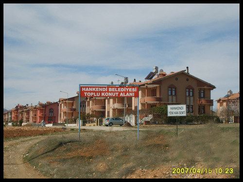
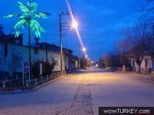
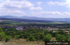
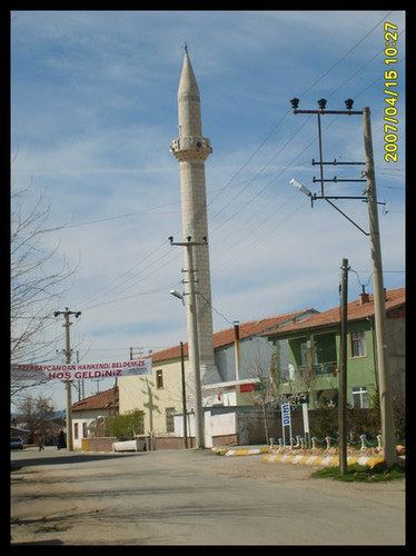
Hankendi is a belde (town) in the central district (Elazığ) of Elazığ Province, Turkey. It is situated at on the Turkish state highway which connects Elazığ to Malatya at 38°14′N 39°04′E. The distance to Elazığ is 18 kilometres (11 mi). The population of Hankendi was 1148 as of 2013. During the Byzantine Empire, the town was a part of Anzitene region Later it became a part of Seljuks of Rum and Ottoman Empire. Ruins of the Bağdat street (Turkish: Bağdar caddesi) which was constructed during the campaign of Murat IV in 1638 is in the vicinity of the settlement. In 1971, it was declared a seat of township.

References
Hankendi, Elazığ Wikipedia(Text) CC BY-SA