
Length 21 mi (34 km) | ||
 | ||
Trailheads AltonQueen Elizabeth Country Park | ||
Weekend walk 26 petersfield to queen elizabeth country park hangers way
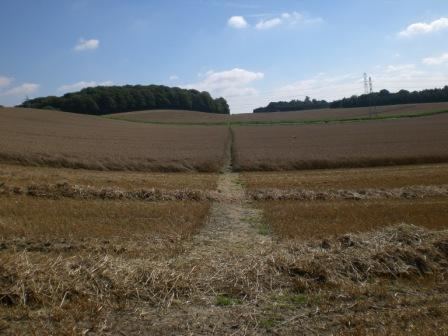
Hangers Way is a 21 mile long-distance footpath through Hampshire, England from Alton railway station to Queen Elizabeth Country Park.
Contents
- Weekend walk 26 petersfield to queen elizabeth country park hangers way
- Weekend walk 24 alton to selborne hangers way
- The route
- References
The name Hanger comes from the Old English word hangra, meaning a steeply wooded slope.
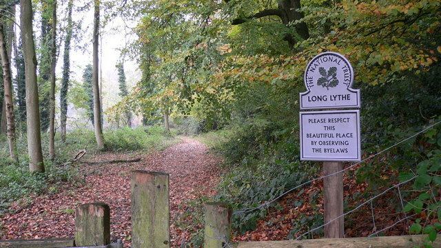
The footpath passes through Petersfield and Selborne along a series of steep-sided wooded hills, known as “The Hangers”, and can be walked in either direction.
The footpath is waymarked by metal and plastic disks found attached to wooden and metal posts, trees and street furniture. The waymarks are green and show a slope with a single tree.
Weekend walk 24 alton to selborne hangers way
The route
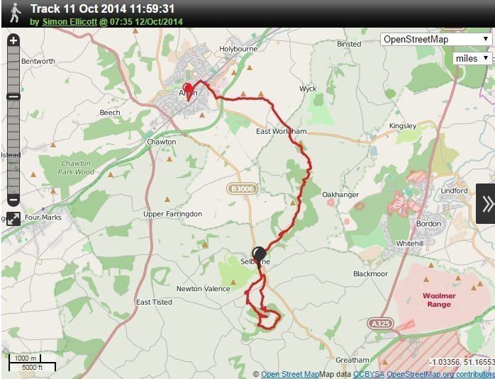
These maps show the footpath in relation to nearby major roads and towns.
References
Hangers Way Wikipedia(Text) CC BY-SA