Department Bas-Rhin Intercommunality Les Châteaux Area 4.11 km² | Canton Lingolsheim Population (2006) 1,495 Local time Wednesday 11:13 PM | |
 | ||
Weather 9°C, Wind NW at 8 km/h, 76% Humidity | ||
Victoire u s l duppigheim contre hangenbieten
Hangenbieten is a commune in the Bas-Rhin department in Grand Est in north-eastern France.
Contents
- Victoire u s l duppigheim contre hangenbieten
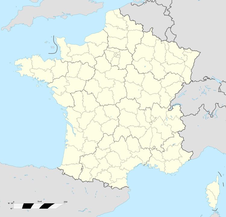
- Map of Hangenbieten France
- Oze architecture chantier de la nouvelle agence hangenbieten
- Geography
- References
Map of Hangenbieten, France
Its name is a contraction of the former name, "Hangenbietenheim".
Oze architecture chantier de la nouvelle agence hangenbieten
Geography
Hangenbieten is positioned two kilometres to the north of Strasbourg airport and twenty kilometres (twelve miles) to the west of central Strasbourg. The village is traversed by the Bruche Canal, built by Vauban following the annexation in 1681 by France of Strasbourg. The canal connects Strasbourg with Molsheim and is tracked by a cycle path.
References
Hangenbieten Wikipedia(Text) CC BY-SA
