
Basin area 248,639 km² | - elevation 443 ft (135 m) - elevation 340 ft (104 m) | |
 | ||
- average 118,400 cu ft/s (3,353 m/s) - max 547,400 cu ft/s (15,501 m/s) Similar Hanford Reach Interpretiv, Priest Rapids Dam, Vernita Bridge, McNary Dam, Bonneville Dam | ||
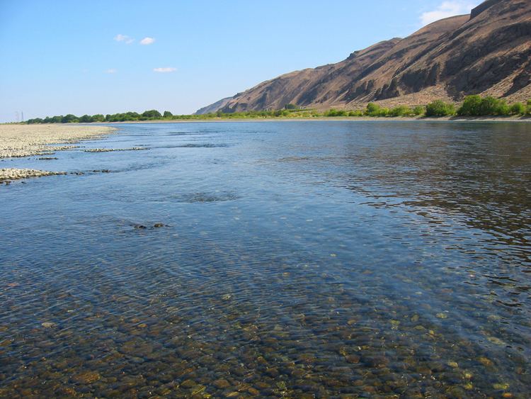
The Hanford Reach is a free-flowing section of the Columbia River, around 51 miles (82 km) long, in eastern Washington state. It is named after a large northward bend in the river's otherwise southbound course. It is the only section of the Columbia in the U.S. that is not tidal nor part of a reservoir, excluding a short reach between the Canada–US border and the upper end of Franklin D. Roosevelt Lake, the reservoir of Grand Coulee Dam. Much of the Hanford Reach flows through the Hanford Site, a nuclear production facility established during World War II. It is also the site of the Hanford Reach National Monument, created from the original protection area around the Hanford Site. Upstream of the Hanford Reach is Priest Rapids Dam and downstream is the McNary Dam, which also impounds the last stretch of the Snake River, the largest tributary of the Columbia.
Map of Hanford Reach, Washington 99344, USA
The Hanford Reach includes the still extant Coyote Rapids and supports over forty species of fish including significant numbers of spawning fall chinook salmon