
Country United States FIPS code 53-17617 Elevation 173 m Population 1,124 (2000) | Time zone Pacific (PST) (UTC-8) GNIS feature ID 1511877 Zip code 99349 Area code Area code 509 | |
 | ||
Area 15.54 km² (8.547 km² Land / 6.993 km² Water) | ||
Desert Aire is a census-designated place (CDP) in Grant County, Washington, United States. Desert Aire's elevation is 560 ft (170 m) The population was 1,124 at the 2000 census.
Contents
Map of Desert Aire, WA 99349, USA
Geography
Desert Aire is located at 46°41′6″N 119°55′29″W (46.685121, -119.924811).
According to the United States Census Bureau, the CDP has a total area of 6.0 square miles (15.5 km²), of which, 3.3 square miles (8.5 km²) of it is land and 2.7 square miles (7.0 km²) of it (45.39%) is water.
History
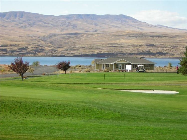
In the early 1970s, a group of investors led by Harry Davidson, of Harry Davidson, Inc., bought 3,200 acres (13 km2) of land along the Columbia River near the Priest Rapids Dam for some $1,000,000. They developed a planned Community of some 1600 homes centered on a Golf Course and Marina. In 1994 the Grant County Airport District was formed and now maintains the small public-use airstrip in the community.
The area is sometimes referred to as 'The Palm Springs of Washington', a moniker also proclaimed by a billboard at the entrance to the community.
Climate
Desert Aire has some of the hottest temperatures in Washington during the summer and is one of the driest places in the state, being located in the rain shadow of both the Cascades and the Umtanums.
Average temperatures in July are a maximum of 91 and a minimum of 64. In January, the average maximum is 40 and the minimum is 26. Rainfall averages only 7 inches (180 mm) per year and the average snowfall is 6 inches (150 mm).
Demographics
As of the census of 2000, there were 1,124 people, 371 households, and 296 families residing in the CDP. The population density was 344.0 people per square mile (132.7/km²). There were 723 housing units at an average density of 221.3/sq mi (85.4/km²). The racial makeup of the CDP was 64.50% White, 0.18% African American, 0.18% Native American, 0.62% Asian, 30.96% from other races, and 3.56% from two or more races. Hispanic or Latino of any race were 46.89% of the population.
There were 371 households out of which 35.3% had children under the age of 18 living with them, 70.4% were married couples living together, 4.9% had a female householder with no husband present, and 20.2% were non-families. 16.7% of all households were made up of individuals and 6.7% had someone living alone who was 65 years of age or older. The average household size was 3.03 and the average family size was 3.35.
In the CDP, the age distribution of the population shows 31.2% under the age of 18, 7.0% from 18 to 24, 25.4% from 25 to 44, 21.4% from 45 to 64, and 14.9% who were 65 years of age or older. The median age was 32 years. For every 100 females there were 107.0 males. For every 100 females age 18 and over, there were 112.4 males.
The median income for a household in the CDP was $35,719, and the median income for a family was $36,971. Males had a median income of $25,417 versus $20,188 for females. The per capita income for the CDP was $18,719. About 4.9% of families and 6.5% of the population were below the poverty line, including 9.1% of those under age 18 and none of those age 65 or over.
Media portrayal
The band the Dark Fantastic references Desert Aire in the title of the song "Incident at Desert Aire". The lyrics, however, make no mention of the place.