
Population 832 (2011 census) Civil parish Hampstead Norreys Area 17.03 km² Dialling code 01635 | OS grid reference SU528763 Local time Wednesday 3:49 PM | |
 | ||
Weather 16°C, Wind W at 10 km/h, 61% Humidity | ||
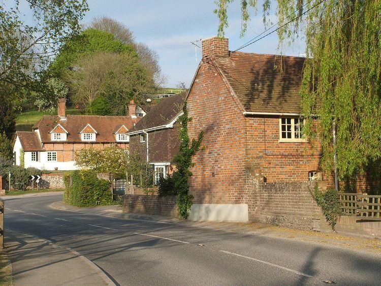
Hampstead Norreys (alternatively spelt Hampstead Norris as it is pronounced) is a village and civil parish in Berkshire, England. It is centred on the small tributary the River Pang, north of Newbury.
Contents
- Map of Hampstead Norreys Thatcham UK
- Amenities
- The Living Rainforest
- Historic buildings
- World War II
- Today
- Education
- Transport
- Sport and leisure
- References
Map of Hampstead Norreys, Thatcham, UK
Amenities
Hampstead Norreys was awarded Berkshire's best-kept village in 1979.
As well as the nucleus of Hampstead Norreys, the parish includes the hamlets or localities of Bothampstead, Eling and Wyld Court. Hampstead Norreys has a large recreational field, Dean Meadow, that is used for fetes and parties and by the village football and cricket teams. The school also uses the field for activities.
The Living Rainforest
Wyld Court is home to The Living Rainforest, an indoor glass house tropical rainforest with plants, animals and butterflies. It is an ecological centre, an educational centre and a visitor attraction.
Historic buildings
The village was recorded in the Domesday Book as Hanstede. The village is noted for its Norman parish church and the remains of a Norman motte-and-bailey castle in the nearby woods.
World War II
The village was close to the wartime airfield of RAF Hampstead Norris, an RAF Bomber Command Operational Training Unit (OTU) station. The airfield was host to a small number of squadrons of Wellington bombers. The site was bombed on 16 September 1940 by the Luftwaffe in the Battle of Britain. In 1945, the station was used by squadrons of Mosquito fighter bombers and became an ammunition storage depot as part of the Bramley Central Ammunition Depot near Basingstoke after its closure in 1946. Little of the wartime station now remains. There are four remaining pillboxes around where the airfield was and a few air raid shelters in the woods. Part of the bomb storage site remains also.
Today
The site still maintains a modern link with aviation with a farm strip used by a Tiger Moth biplane. It is now known as Haw Farm, part of the Yattendon Estate. An impression of the old runway layout of RAF Hampstead Norris can still be seen from the air. On the edge of the airfield perimeter track is a light beacon and an important VOR beacon known as Compton (CPT), named after the nearby village, which is used as a primary navigational aid for airway routes between European airports such as (Heathrow) and North America.
Education
Hampstead Norreys has a small rural primary school which has served the community for over 150 years.
Transport
From 18 February 2013, Buses 6 and 6A from Newbury serve the village. Newbury railway station has regular and fast services to east and west.
Hampstead Norris railway station was a minor halt on the Didcot, Newbury and Southampton Railway for about half a century until 1962.
Sport and leisure
The Dean Field is the local park in Hampstead Norreys. It contains a football and cricket pitch and a children's play area. On the north side of the field is Hampstead Norreys Village Hall. It is considerably larger than the village halls in surrounding villages. On the south side is Eling estate, a large wooded area (consisting of Park Wood, Westbrook Copse, Down Wood and Elingpark Copse) backed by a path which is what remains of the old Didcot, Newbury and Southampton Railway running between Hermitage and Compton, the two nearest villages.