
Established 1786 Population 295 (2011) | Time zone AST (UTC-4) | |
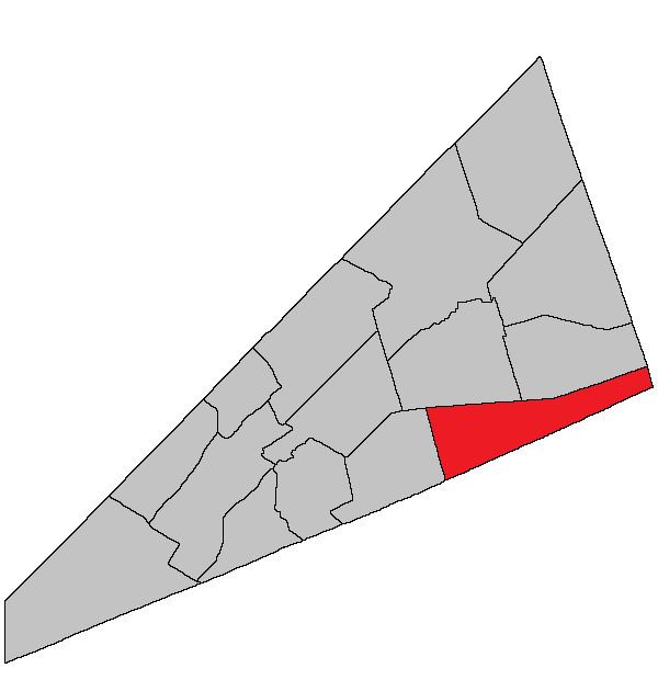 | ||
Hammond is a Canadian parish in Kings County, New Brunswick.
Contents
- Map of Hammond NB Canada
- History
- Delineation
- Governance
- Communities
- Bodies of water Islands
- Access Routes
- References
Map of Hammond, NB, Canada
History
Hammond Parish formed in 1858 from part of Upham Parish: named for the Hammond River.
Delineation
Hammond Parish is defined in the Territorial Division Act as being bounded:
Northerly by Sussex and Waterford Parishes; south and east by the County lines, and west by Upham Parish.Governance
The entire parish forms the local service district of the parish of Hammond, established in 1968 to assess for fire protection. First aid and ambulance services were added to the assessment in 1972. Recreational facilities were added to the assessment in 1994, with first aid and ambulance services being removed at the same time.
Communities
Parish population total does not include incorporated municipalities (in bold):
Bodies of water & Islands
This is a list of rivers, lakes, streams, creeks, marshes and Islands that are at least partially in this parish
Access Routes
Highways and numbered routes that run through the parish, including external routes that start or finish at the parish limits: