
Established 1786 | Time zone AST (UTC-4) | |
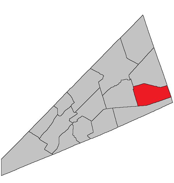 | ||
Waterford is a Canadian parish in Kings Parish, New Brunswick. Poley Mountain is located here.
Contents
- Map of Waterford NB Canada
- History
- Delineation
- Governance
- Communities
- Bodies of water and islands
- Access Routes
- Notable people
- References
Map of Waterford, NB, Canada
History
Waterford Parish created from Sussex Parish in 1874: named for County Waterford, Ireland.
Delineation
Waterford Parish is defined in the Territorial Division Act as being bounded:
South by a line commencing at the southeast angle of Sussex Parish and running a direct course to the northeastern angle of lot fifty-five, granted to William Thompson aforesaid; thence south eighty-eight degrees east to the County of Albert; east by the County line; north by Cardwell Parish, and west by Sussex Parish.Governance
The entire parish forms the local service district of the parish of Waterford, established in 1968 to assess for fire protection. Recreational and sports facilities were added in 2012. First aid and ambulance services (1972–2012) were formerly included.
Communities
Parish population total does not include incorporated municipalities (in bold):
Bodies of water and islands
This is a list of rivers, lakes, streams, creeks, marshes and Islands that are at least partially in this parish
Access Routes
Highways and numbered routes that run through the parish, including external routes that start or finish at the parish limits: