Postcode(s) 5431 Hammond Eurelia Local time Thursday 1:35 AM | Elevation 316 m Postal code 5431 | |
 | ||
Weather 24°C, Wind SW at 13 km/h, 39% Humidity | ||
Hammond is a settlement in South Australia in the southern Flinders Ranges.
Contents
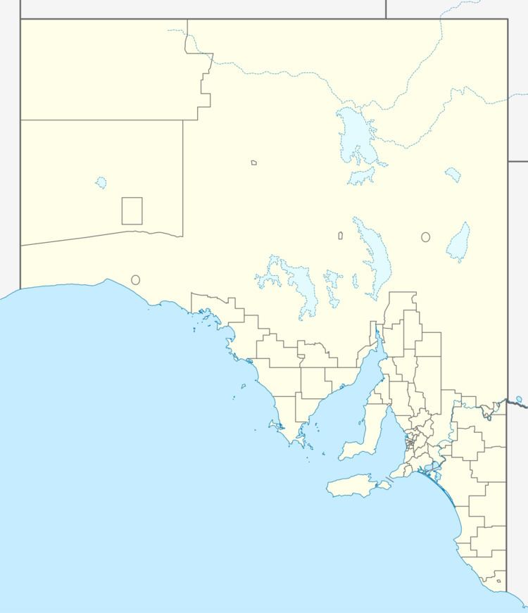
Map of Hammond SA 5431, Australia
The town of Hammond was surveyed in May 1879 on the banks of the Bellaratta Creek. It is named after William Henry Hammond Jervois, the eldest son of Governor of South Australia William Jervois.
St Dominic's Catholic Church in Hammond opened in 1907 but closed on 25 June 2006. Hammond school opened in 1886 but is also now closed.
Railway
From 1881, Hammond was on the Peterborough–Quorn railway line. Peterborough provided rail connection south to Adelaide, west to Port Pirie and east to Broken Hill. Quorn was on the Central Australia Railway from Port Augusta to Alice Springs, Northern Territory. After 1917, the Port Augusta end connected to the Trans-Australian Railway to Perth, Western Australia as well. Interstate rail traffic stopped using this line from 1937 when a new railway was built connecting Port Pirie direct to Port Augusta, providing a more direct path. It continued to carry some freight up until the 1980s, and remained available for occasional transfers between the Pichi Richi Railway and Steamtown Peterborough into the 1990s.
