
Country United States Local time Wednesday 9:05 AM Number of airports 1 | Time zone Mountain (MST) Area code 406 | |
 | ||
Weather 7°C, Wind S at 10 km/h, 68% Humidity | ||
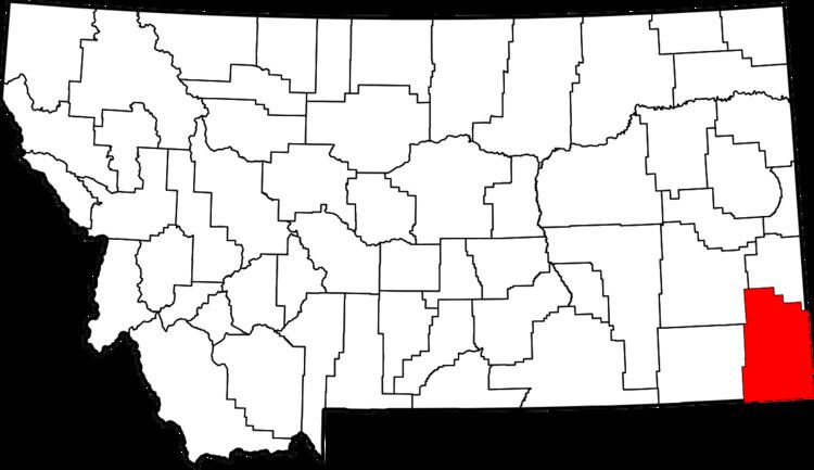
Hammond is an Unincorporated community in Carter County, Montana, United States with a post office. It is located about 30 miles (48 km) southeast of the town of Broadus, Montana along U.S. Highway 212. Its elevation is 3,711 feet.
Contents
Map of Hammond, MT 59332, USA
Geography
The town is a small cluster of buildings in the southeast corner of the state. It is located near the Montana-Wyoming border between the unincorporated communities of Boyes and Alzada in Carter County. Hammond is 61 miles (98 km) southwest of the Carter County seat, Ekalaka. The area around Hammond is mostly ranchland.
Climate
According to the Köppen Climate Classification system, Hammond has a semi-arid climate, abbreviated "BSk" on climate maps.
References
Hammond, Montana Wikipedia(Text) CC BY-SA