
OS grid reference ST641780 Sovereign state United Kingdom Local time Wednesday 10:44 AM | Unitary authority Postcode district BS Dialling code 0117 | |
 | ||
Weather 10°C, Wind W at 6 km/h, 87% Humidity | ||
Hambrook is a village in South Gloucestershire, England, situated on the north-eastern outskirts of the city of Bristol. It lies between the larger communities of Winterbourne and Frenchay and is part of the Civil Parish of Winterbourne.
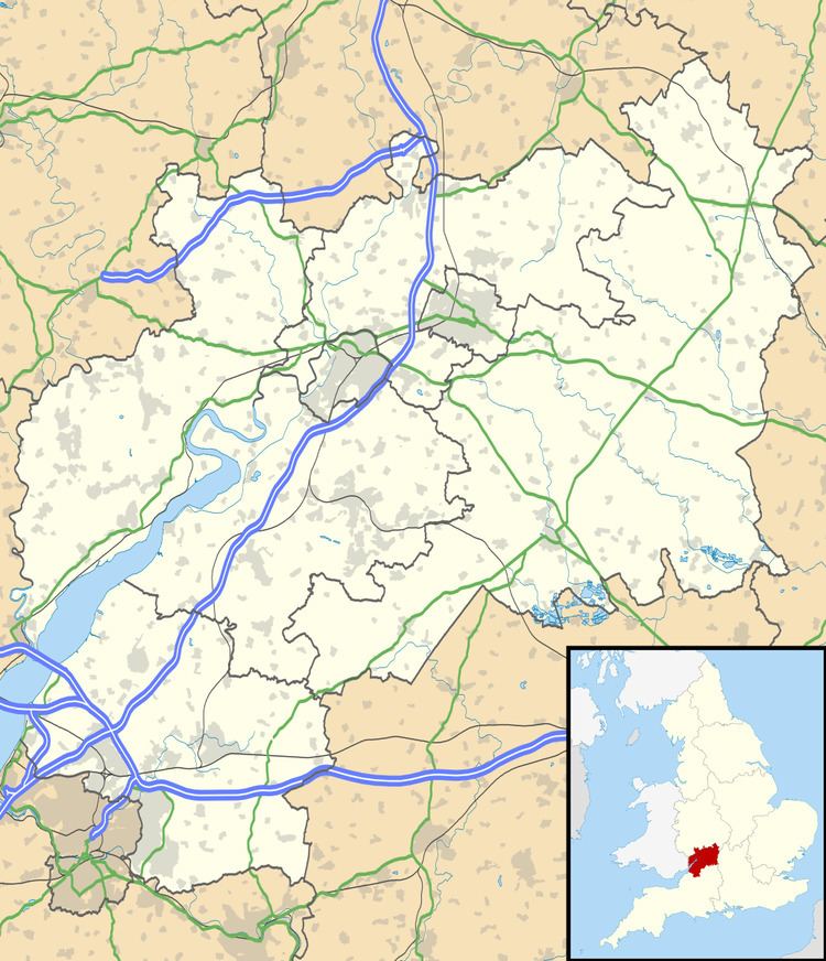
Map of Hambrook, Bristol, UK
A small settlement was recorded at Hambrook in the Domesday Book.
Nowadays, Hambrook is a commuter village, with the M4 and the Avon Ring Road bisecting it.
Hambrook lies at the south-western foot of Winterbourne Hill. The River Frome and its walkway pass along the village's eastern edge and the Bradley Brook converges with the former in Hambrook. The village also contains many areas of natural beauty and is flanked by woodland and fields. Hambrook's most distinctive feature is its common (or village green) which locals refer to as either 'Hambrook' or 'Whiteshill Common' because of its proximity to the hamlet of Whiteshill. The Common is home to the Civil Parish of Winterbourne's war memorial and the village's primary school, with cottages flanking it on either side and is frequently used for cricket matches.
Hambrook Court is an 18th-century house. It has been designated as a Grade II listed building.