
Country Japan City Hamamatsu Area 66.51 km² Local time Wednesday 7:01 PM | Region Chūbu Phone number 053-926-1111 Population 90,817 (1 May 2009) Prefecture Shizuoka Prefecture | |
 | ||
Time zone Japan Standard Time (UTC+9) Address Nishimisono 6-banchi, Hamakita-ku, Hamamatsu, Shizuoka 434-8550 Weather 9°C, Wind NW at 26 km/h, 63% Humidity Points of interest Hamakita forest Athletic, Gansui‑ji Temple, Prefectural Forest Park, Somejidaiyacho Park, Akamonue Kofun | ||
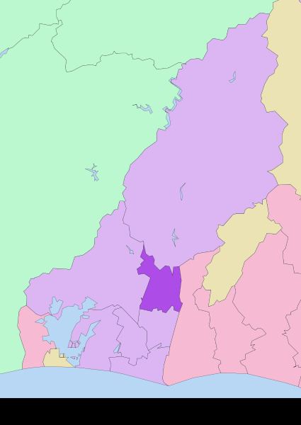
Hamakita-ku (浜北区) is one of the seven wards of the city of Hamamatsu, Shizuoka Prefecture, Japan. It is bordered by Tenryū-ku, Higashi-ku, Naka-ku and the city of Iwata. The Tenryū River and the Akaishi Mountains form natural boundaries for the ward.
Contents
Map of Hamakita Ward, Hamamatsu, Shizuoka Prefecture, Japan
Hamakita Ward was established on April 1, 2007. As of 2009, it had a population of 90,817 persons in an area of 66.51 km2, with a population density of 1370 persons per square kilometer.
Railroads
Central Station: Hamakita Station
Hamakita Ward Office
The ward office is located at 6 Nishimisono. The hall is split into north and south halls and the south hall was previously used as Kitahama Village Hall. The north hall was built as a result of five municipalities merged to form the town of Hamakita and later become the city of Hamakita.