
Surface area 13.61 km (5.25 sq mi) Surface elevation 1,130 m Shore length 39.83 km | References NVE Area 13.61 km² | |
 | ||
Max. length 11.2 kilometres (7.0 mi) Max. width 2.3 kilometres (1.4 mi) Reference Norwegian Water Resources and Energy Directorate | ||
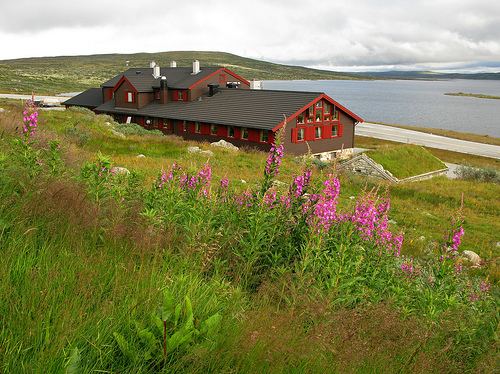
Halnefjorden is a large lake on the border of Hordaland and Buskerud counties in Norway. It is located in the municipalities of Hol and Nore og Uvdal in Buskerud county and in Eidfjord municipality in Hordaland county. At 13.61 square kilometres (5.25 sq mi), it is among the largest lakes located on the vast Hardangervidda plateau. The Norwegian National Road 7 runs along the northern shore of the lake, and that is the only road access to the lake. The lake is one of the headwaters of the river Numedalslågen.
Map of Halnefjorden, Norway
References
Halnefjorden Wikipedia(Text) CC BY-SA