
OS grid reference SU907080 | Sovereign state United Kingdom Postcode district PO18 | |
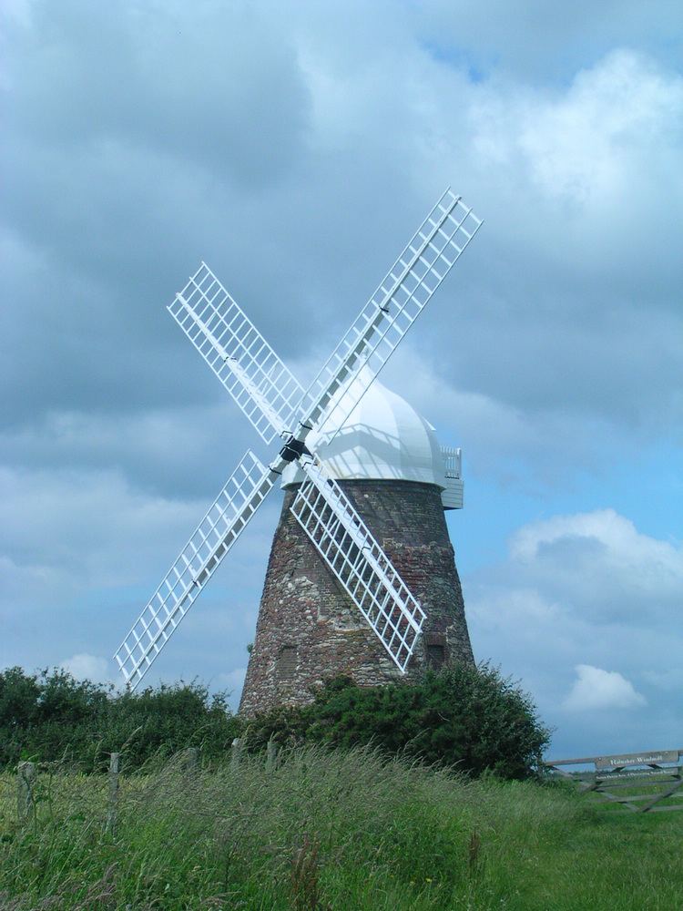 | ||
Halnaker windmill west sussex climb
Halnaker is a hamlet in the Chichester district of West Sussex, England. It lies on the A285 road 3.5 miles (5.6 km) northeast of Chichester, where it follows the line of the Roman road to London called Stane Street. There is a traditional pub, The Anglesey Arms and a blacksmiths shop. Goodwood House is southwest of the village. North of the village Halnaker Windmill stands on 128 metre/420 feet high Halnaker Hill, a southern outpost of the South Downs. The 2011 Census population was included in the civil parish of Boxgrove.
Contents
- Halnaker windmill west sussex climb
- Map of Halnaker Chichester UK
- Halnaker windmill from the air
- References
Map of Halnaker, Chichester, UK
Halnaker is mentioned in the Domesday Book under Sussex in the lands belonging to Earl Roger. The book which was written in 1086 said:
The same William holds Halnaker of the Earl. Alweard held it TRE and then as now it was assessed at nine hildes. There is land for five ploughs. In demesne there are two ploughs and seventeen villans with twelve cottars with two ploughs. There are eight acres of meadow and woodland for 9 pigs. In Chichester are three burgesses paying 5 shillings. TRE it was woth four pounds now 100 shillings.
The place was in medieval times also referred to as Halfnaked.