
Peak Bramsen Bjerg Width 15 km (9.3 mi) NE/SW Elevation 1,272 m | Length 20 km (12 mi) NW/SE Area 300 km² Age of rock Upper Carboniferous | |
 | ||
The Halle Range or Halle Mountains (Danish: Hallebjergene) is a mountain range in Clavering Island, King Christian X Land, northeastern Greenland. Administratively this range is part of the Northeast Greenland National Park zone.
Contents
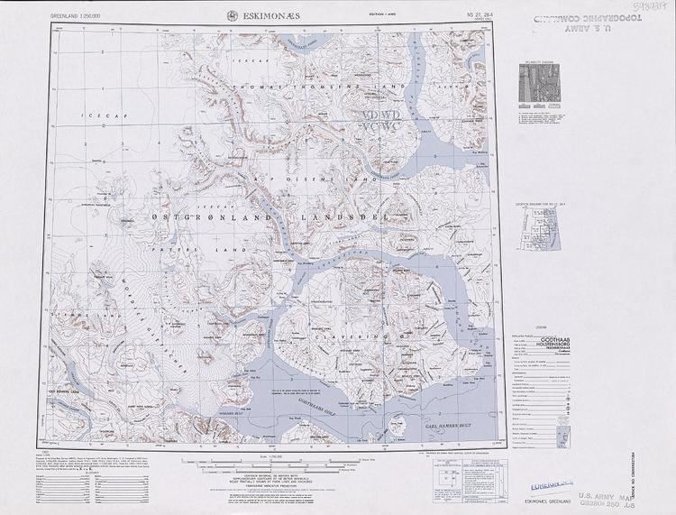
Map of Hallebjergene, Greenland
The range was named by Lauge Koch during his 1929–30 expedition after Thore Gustav Halle (1884–1964), a professor at the University of Stockholm who had worked on the plant samples brought by the expedition. Formerly it had been also known as Joh. H. Andresenfjellet.
Geography
The Halle Range is an up to 1200 m high little glaciated mountain massif located in the southwest part of Clavering Island (Clavering Ø). Its average elevation is 912 m and the highest point of the range is 1272 m high Bramsen Bjerg. The Vildbækdalen is a valley in the heart of the range. The area of the Halle mountains is uninhabited.