
Country United States Time zone CST (UTC-6) Area 98.11 km² Population 8,300 (2010) | Established November 6, 1849 Elevation 201 m Local time Wednesday 12:06 AM | |
 | ||
ZIP codes 61312, 61320, 61322, 61329, 61354, 61356, 61359, 61362 Weather -9°C, Wind W at 11 km/h, 69% Humidity | ||
Hall Township is one of twenty-five townships in Bureau County, Illinois, USA. As of the 2010 census, its population was 8,300 and it contained 3,692 housing units. Hall Township changed its name from Bloom Township in June, 1850.
Contents
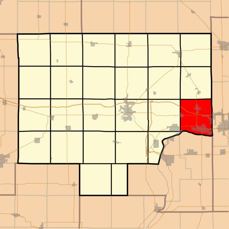
- Map of Hall Township IL USA
- Geography
- Cities
- Unincorporated towns
- Cemeteries
- Major highways
- Airports and landing strips
- Rivers
- Landmarks
- Political districts
- References
Map of Hall Township, IL, USA
Geography
According to the 2010 census, the township has a total area of 37.88 square miles (98.1 km2), of which 37.22 square miles (96.4 km2) (or 98.26%) is land and 0.67 square miles (1.7 km2) (or 1.77%) is water.
Cities
Unincorporated towns
(This list is based on USGS data and may include former settlements.)
Cemeteries
The township contains these eleven cemeteries: Ladd, Lithuanian, Miller, Mount Olivet Catholic, Ottville, Saint Annes Catholic, Saint George Syrian, Saint Josephs, Saint Valentines, Saints Peter and Paul and Valley Memorial Park.
Major highways
Airports and landing strips
Rivers
Landmarks
Political districts
References
Hall Township, Bureau County, Illinois Wikipedia(Text) CC BY-SA