Airport type Public 04/22 5,997 Code PVW | Elevation AMSL 3,374 ft / 1,028 m 5,997 1,828 Elevation 1,028 m Phone +1 806-293-4121 | |
 | ||
Address 10 Miller Blvd, Plainview, TX 79072, USA Similar Hale County District Att, Hale County Jail, Hale County Indigent, Hale County LEPC, Criminal Justice Departme | ||
Plane crash at hale county airport in plainview
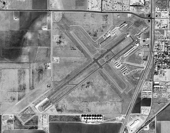
Hale County Airport (IATA: PVW, ICAO: KPVW, FAA LID: PVW) is a public airport about 1 mile (1.6 km) south-southwest of Plainview, Texas. No airline flights now.
Contents
- Plane crash at hale county airport in plainview
- Raw footage of v 22 osprey at hale county airport
- History
- References
Raw footage of v 22 osprey at hale county airport
History
Provided contract glider training to the United States Army Air Forces, 1942-1944. Training provided by Clint Breedlove Aerial Service. An all-way turf airfield with a 2,700' x 2,700' landing/takeoff area. Used primarily C-47 Skytrains and Waco CG-4 unpowered gliders. Possibly had two auxiliary landing airfields. The mission of the school was to train glider pilot students in proficiency in operation of gliders in various types of towed and soaring flight, both day and night, and in servicing of gliders in the field.
Inactivated during 1944 with the drawdown of AAFTC's pilot training program. Declared surplus and turned over to the Army Corps of Engineers on 30 September 1945. Eventually discharged to the War Assets Administration (WAA) and became a civil airport in April 1946. Had scheduled airline flights in the 1950s-- Pioneer then Continental, then Central DC-3s ended in 1963.
