
PIN 735122 Elevation 57 m Local time Wednesday 6:43 AM | Time zone IST (UTC+5:30) Telephone code 03561 Population 13,170 (2001) Area code 03561 | |
 | ||
Weather 16°C, Wind SE at 2 km/h, 68% Humidity University | ||
Haldibari is a town and a municipality in the Cooch Behar district in the Indian state of West Bengal.
Contents
Map of Haldibari, West Bengal 735122
Geography
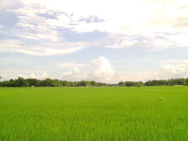
Haldibari is located at 26.33°N 88.77°E / 26.33; 88.77. It has an average elevation of 57 metres (187 feet).Haldibari is a town located near India-Bangladesh border.
Climate
Like other places of eastern India Haldibari experiences three seasons,namely Summer,Monsoons and Winter.The town experiences heavy amount of rainfall during the Monsoon.In the summer the temperature reaches around 35 degrees of Celsius and in extreme winter the temperature sometimes falls down to 5 degrees of Celsius.
Demographics
As of 2001 India census, Haldibari had a population of 13,170. Males constitute 51% of the population and females 49%. Haldibari has an average literacy rate of 67%, higher than the national average of 59.5%: male literacy is 72%, and female literacy is 62%. In Haldibari, 12% of the population is under 6 years of age.The estimated population of Haldibari is 17,000 approximately as on 2011.
Civic administration
Administration of the Haldibari Municipality is headed by a chairman who is elected by the residents of the town.It has 11 wards from where the councilors are elected. The newly elected chairman is Sri Tarun Dutta.