
Country Bangladesh District Dinajpur District Area 99.92 km² | Division Rangpur Division Time zone BST (UTC+6) | |
 | ||
Website Official Map of Hakimpur | ||
Hakimpur (Bengali: হাকিমপুর) is an Upazila of Dinajpur District in the Division of Rangpur, Bangladesh.
Contents
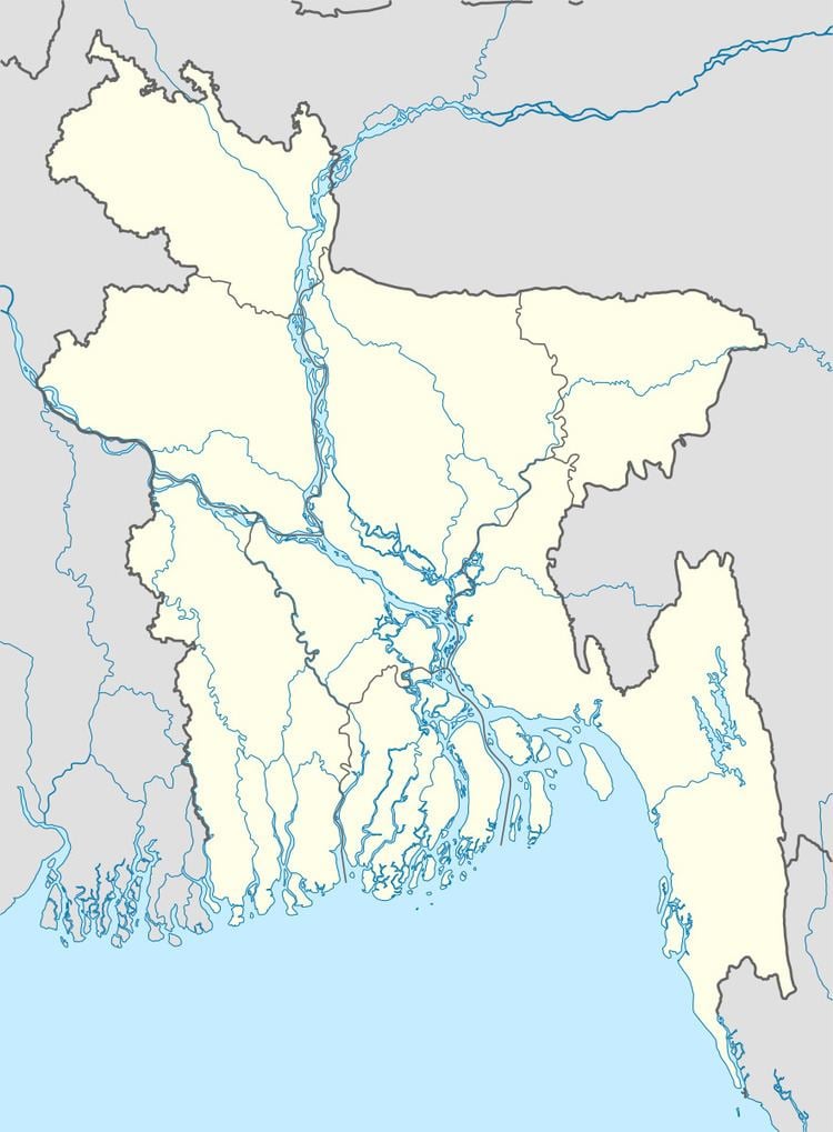
Map of Hakimpur Upazila, Bangladesh
Geography
Hakimpur is located at 25.2833°N 89.0167°E / 25.2833; 89.0167. It has 13,769 households and total area 99.92 km².
Demographics
According to the 2011 Bangladesh census, Hakimpur Upazila had 22,895 households and a population of 92,599, 30.7% of whom lived in urban areas. 9.3% of the population was under the age of 5. The literacy rate (age 7 and over) was 54.7%, compared to the national average of 51.8%.
Administration
Hakimpur has 4 unions/wards, 69 mauzas/mahallas, and 91 villages.
Hili Land Port
The 2nd largest land port of Bangladesh Hili Land Port is situated here.
References
Hakimpur Upazila, Dinajpur District Wikipedia(Text) CC BY-SA