
Time zone IST (UTC+5:30) Vehicle registration TS 08 Area code 040 | Telephone code 040 Sex ratio 1:1(approx) ♂/♀ | |
 | ||
Hakimpet is a village in Medchal district in Telangana, India. It falls under Shamirpet mandal.
Contents
Map of Hakimpet, Secunderabad, Telangana
About
Hakimpet is located near to Rajiv Rahadari Highway (Telangana State SH-1). It is located in the north outskirts of Hyderabad. Hakimpet is 15 km away from Secunderabad Railway Station. It has an average elevation of 597 meters. Hakimpet village falls under Devar Yamjal Panchayat. It is home to hakimpet Lake. It is a fast developing village in Shamirpet Mandal.
It falls under Medchal Assembly Constituency and Malkajgiri Parliamentary Constituency. Hakimpet Pin code is 500078 and postal head office is Nisa Hakimpet .
Hakimpet is surrounded by Medchal Mandal towards west, Keesara Mandal towards East, Quthbullapur Mandal towards west, Mulug Mandal towards North. Total area of Hakimpet is 1883 hectares. Alwal is the Nearest Town to Hakimpet. Alwal is 10 km from Hakimpet. Road connectivity is there from Alwal to Hakimpet. Bolarum Railway Station is the neareast railway stations to Hakimpet.
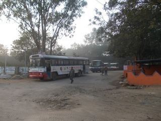
Hakimpet has an Indian airforce base and Indian Army base here. It also has Central Industrial Security Force (CISF), National Industrial Security Academy (NISA). There is also a TSRTC Depot here. D'Marc Cricket Academy (DMRC) Hakimpet Cricket Ground is situated here.