
Country Kosovo Time zone CET (UTC+1) Area code(s) 0381 (0)38 | Postal code 10000 Population 7,391 (2011) | |
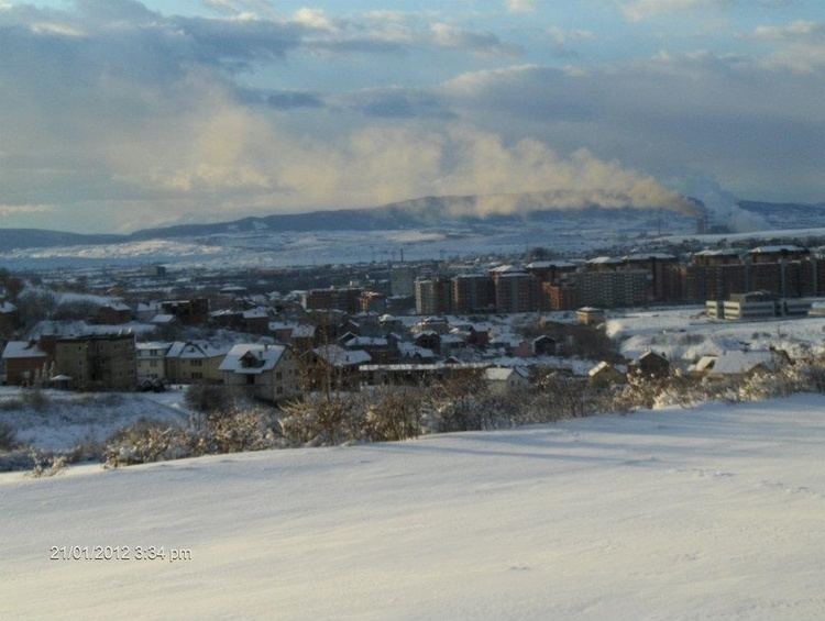 | ||
Hajvalia (Albanian: Hajvalia, Serbian Cyrillic: Ајвалија) is a village or suburb southeast of Pristina, located 635 meters above sea level. It lies in the municipality of Pristina. It has approximately 2,300 homes and 7 391 (2011) inhabitants. A small creek begins in the town, while another begins north-east of the town and runs through it. It is thought that the first 100 years of its history, just six Albanian families lived here. After 1970, right up until now, there has been an increase in population, mainly from newcomers.
Contents
Map of Hajvali
The road here passes through Gnjilane and Pristina and connects with M25.2 way.
Places of Interest
There is a zinc and silver mine, which opened in 1953 and have been completely renovated, namely the Trepča Mines-Pristina (Hajvalia). A public park is located near the town-centre, along the Dëshmorët e Gollakut(Lit. Gollak Martyrs road). There is a mosque, Xhamia e Hajvalisë (Lit. Mosque of Hajvalia), in the south-west of the village.
Sport
There are one Football Club, KF Hajvalia
Education
There is only one primary school with roughly 2,500 pupils; Elementary School "Shkëndija" (Lit. "Spark").
Other
Behgjet Pacolli AKR chairman and former president of Kosovo is a resident. In Hajvalija there is the International Village. After the war it saw development of small businesses and private businesses.