
Local time Wednesday 2:59 AM | Time zone Nepal Time (UTC+5:45) Population 9,919 (1991) | |
 | ||
Weather 16°C, Wind NE at 2 km/h, 69% Humidity | ||
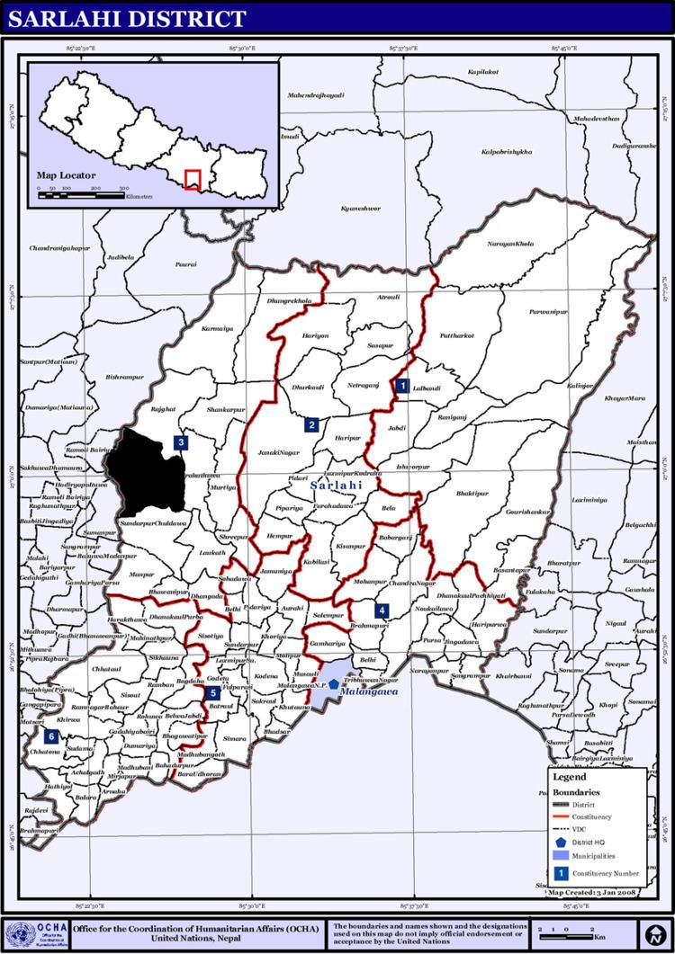
Hajariya is a village development committee (VDC) in Sarlahi District in the Janakpur Zone of south-eastern Nepal. Now it is included to barahathwa municipality.At the time of the 2011 Nepal census it had a population of 16,336 people living in 2814 individual households.
Contents
Map of Hajariya, Nepal
Hajariya is bounded by Barahathwa on the east, Sundarpur Choharwa on the south, Rautahat district on the west and Rajghat on the north.
Economy
This VDC produces maize, potato, sugarcane and seasonable vegetables.
Education
Shree Saraswati Uchcha Ma Vi is only one higher secondary school of this VDC.NOw the education of this place is rapidly increasing.
History
People of this VDC were highly affected during UCPN Maoists' civil war. More than 50 persons were killed by both parties during the period of war.