
District Westerwaldkreis Elevation 399 m (1,309 ft) Area 3.69 km² Postal code 56244 Dialling code 06435 | Time zone CET/CEST (UTC+1/+2) Local time Tuesday 6:56 PM Population 421 (31 Dec 2008) | |
 | ||
Weather 11°C, Wind W at 8 km/h, 60% Humidity | ||
Hahn am See is an Ortsgemeinde – a community belonging to a Verbandsgemeinde – in the Westerwaldkreis in Rhineland-Palatinate, Germany.
Contents
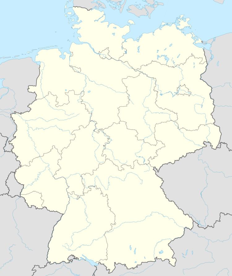
- Map of Hahn am See Germany
- Location
- History
- Amalgamations
- Community council
- Town partnerships
- Buildings
- References
Map of Hahn am See, Germany
Location
The community lies in the Westerwald between Montabaur und Hachenburg. The community belongs to the Verbandsgemeinde of Wallmerod, a kind of collective municipality.
History
Hahn am See, which was mentioned in a document as Hane as early as 1374, lies on one of Germany’s oldest roads. The Hohe Straße (“High Road”), which is now Bundesstraße 8, can be traced back to the Völkerwanderung in pre-Christian times. When there was a great water shortage in 1870, a fountain to supply people with water, was built which was fed by a natural spring. The old fountain column still stands today and still gives its cooling wetness.
Amalgamations
With the amalgamation of the communities of Hahn and Niederhahn, the new united community was given the name Hahn am See in 1980.
Community council
The council is made up of 8 council members who were elected in a majority vote in a municipal election on 7 June 2009.
Town partnerships
There is a partnership arrangement with the French community of Le Verger, which is nurtured by a promotional group.
Buildings
The community’s core is characterized by the village linden tree, which is more than 100 years old, and the Baroque church from 1726, which is a protected monument.