
Country United States Time zone CST (UTC-6) Elevation 138 m Population 381 (2010) | Established November 6, 1923 ZIP codes 62611, 62618 Area 128.8 km² | |
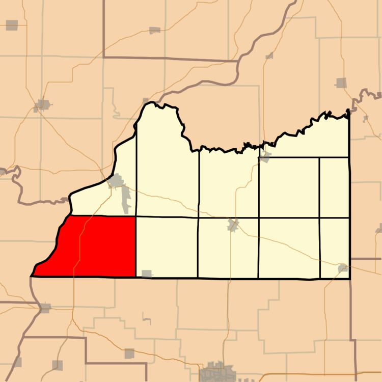 | ||
Hagener Township is one of eleven townships in Cass County, Illinois, USA. As of the 2010 census, its population was 381 and it contained 163 housing units.
Contents
- Map of Hagener Township IL USA
- Geography
- Unincorporated towns
- Cemeteries
- Major highways
- Airports and landing strips
- Rivers
- Lakes
- School districts
- Political districts
- References
Map of Hagener Township, IL, USA
Geography
According to the 2010 census, the township has a total area of 49.75 square miles (128.9 km2), of which 47.95 square miles (124.2 km2) (or 96.38%) is land and 1.8 square miles (4.7 km2) (or 3.62%) is water.
Unincorporated towns
(This list is based on USGS data and may include former settlements.)
Cemeteries
The township contains these seven cemeteries: Black Oak, Bush, Hackman, Immanuel Lutheran, Saint Peters Lutheran, Schneider and Wagle.
Major highways
Airports and landing strips
Rivers
Lakes
School districts
Political districts
References
Hagener Township, Cass County, Illinois Wikipedia(Text) CC BY-SA