
Capital Hadrut Website Hadrut Province | Area rank Ranked 2nd Area 1,877 km² | |
 | ||
Hadrut (Հադրութ in Armenian) is a province of Nagorno-Karabakh Republic. It forms the southern border of Nagorno-Karabakh, and one of the most mountainous parts. Villages are primarily found along two river valleys and scattered in lower elevations on the very southern fringe. Excavations of the Azokh Cave show that humans have inhabited this area for tens of thousands of years, and the region has a rich history.
Contents
Map of Hadrut, Azerbaijan
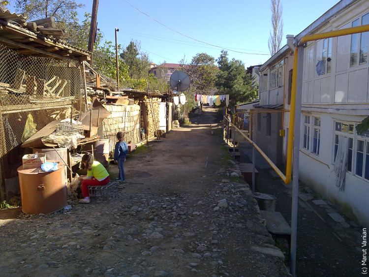
Hadrut province has 30 communities of which 1 is considered urban and 29 are rural. The most important problems are drinking and irrigation water, and internal communication roads. Some villages are lacking a telephone network and some have difficulties with watching Armenian TV channels. More than 340 people of Hadrut Region fell victims during the Nagorno-Karabakh war. Nearly 30% of its area has been ruined and burnt several times.