
Country United States Time zone Central (CST) (UTC-6) Elevation 360 m | ZIP code 55992 Local time Tuesday 8:49 AM | |
 | ||
Weather -14°C, Wind N at 5 km/h, 78% Humidity | ||
Hader is an unincorporated community in Goodhue County, Minnesota, United States.
Contents
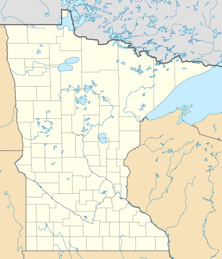
Map of Hader, Wanamingo Township, MN 55992, USA
The community is located at the junction of U.S. Highway 52, State Highway 57 (MN 57), and Goodhue County Road 8 (County 8 Boulevard).
Hader is located within Leon Township and Wanamingo Township. Nearby places include Zumbrota, Wanamingo, Goodhue, Minneola Township, Belle Creek Township, and Cannon Falls.
ZIP codes 55992 (Zumbrota), 55983 (Wanamingo), 55009 (Cannon Falls), and 55027 (Goodhue) all meet near Hader.
History
When Hader was founded by Otis F. Smith in 1857, it was built in order to be the county seat. However, these plans failed, the plat was not fulfilled, and few buildings were built during that time.
References
Hader, Minnesota Wikipedia(Text) CC BY-SA