
Quadrant NW Sector Southwest Elevation 684 m | Ward 9 Area 128 ha Population 4,342 (2012) | |
 | ||
Haddow is a triangle shaped residential neighbourhood in south west Edmonton, Alberta, Canada. It is bounded on the south west by Anthony Henday Drive and on the south east by Terwillegar Drive. The northern boundary is an undeveloped strip of land about 29 Avenue.
Contents
Map of Haddow, Edmonton, AB, Canada
The neighbourhood is a newer neighbourhood with all residential construction being completed after 1995. The most common type of housing is the single family home (78%), followed by apartment style condominiums in high rise buildings with five or more stories (11%). Duplexes make up 6% of the residences and row houses the remaining 4%. All residences are owner occupied.
Demographics
In the City of Edmonton's 2012 municipal census, Haddow had a population of 7003434200000000000♠4,342 living in 7003159000000000000♠1,590 dwellings, a 1.9% change from its 2009 population of 7003426100000000000♠4,261. With a land area of 1.28 km2 (0.49 sq mi), it had a population density of 7003339220000000000♠3,392.2 people/km2 in 2012.
Recreation
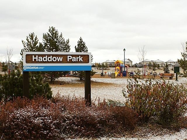
Haddow Park is located near the centre of the neighbourhood. The parke features perimeter and bisecting asphalt walking trails, a playground, sports fields, toboggan hill, and (in the winter months) an ice rink. Haddow Park is a designated on-leash area for dogs.
Trails located at the north-western boundary of Haddow provide access to the North Saskatchewan River valley and Terwillegar Park.
Surrounding neighbourhoods
Surrounding neighbourhoods are Henderson Estates and Falconer Heights to the north, Carter Crest to the north east, Leger and Terwillegar Towne to the east, and Terwillegar South to the south east. Beyond Anthony Henday Drive are the neighbourhoods of Ambleside and Windermere Estates