
Elevation 760 m (2,490 ft) Local time Tuesday 3:26 PM | Time zone EET (UTC+2) | |
 | ||
Weather 14°C, Wind W at 11 km/h, 65% Humidity | ||
Haddatha (حداتا) is a village in Bint Jbeil District in Southern Lebanon.
Contents
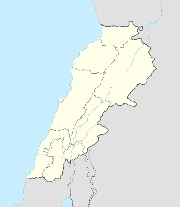
Map of Haddatha, Lebanon
History
In 1596, it was named as a village, ‘“Hadata” in the Ottoman nahiya (subdistrict) of Tibnin under the liwa' (district) of Safad, with a population of 52 households, all Muslim. The villagers paid a fixed tax-rate of 25% on agricultural products, such as wheat, barley, fruit trees, goats and beehives, in addition to "occasional revenues”; a total of 4,640 akçe.
In 1838, Edward Robinson noted the village on his travels in the region.
In 1875, Victor Guérin found the population to be exclusively Metualis. In 1881, the Palestine Exploration Fund's Survey of Western Palestine (SWP) described Haddatha: "A village, built of stone, containing about 150 Metawileh, on hill-top; a few grapes, figs and olives, and arable cultivation; there is a spring near and cisterns in village; a birket for cattle."
During the 2006 Lebanon War, Israel shelled a house with 6 civilians, killing all of them. They were aged from 50 to 80 years old.