Time zone CET (UTC+1) Website www.hackerberg Area 3.87 km² Population 367 (2016) District Güssing District | Area codes 03358, GS Elevation 329 m Local time Tuesday 1:08 PM Postal code 8292 | |
 | ||
Weather 13°C, Wind E at 5 km/h, 38% Humidity | ||
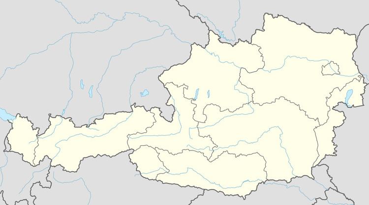
Hackerberg (Croatian: Štinjački Vrh) is a town in the district of Güssing in the Austrian state of Burgenland.
Map of 8292 Hackerberg, Austria
References
Hackerberg Wikipedia(Text) CC BY-SA
