Time zone EET (UTC+2) Population 382 (2012) | Elevation 315 m (1,035 ft) Postal code 33600 Area code 0324 | |
 | ||
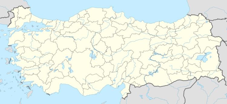
Hacıiyaslı is a village in Mut district of Mersin Province, Turkey. At 36°41′N 33°20′E, it is situated in the Göksu River valley. Its distance to Mut is 15 kilometres (9.3 mi) and to Mersin is 175 kilometres (109 mi). The village was founded by a Turkmen tribe named Karadöneli. As of 2012, the population of Hacıilyaslı was 382. Main economic activity is animal husbandry. Valuable produce cultivated at Hacıilyaslı include olive agricultural crops.
Map of Hac%C4%B1ilyasl%C4%B1, Hac%C4%B1ilyasl%C4%B1 Mahallesi, 33600 Mut%2FMersin Province, Turkey
References
Hacıilyaslı Wikipedia(Text) CC BY-SA
