
Time zone EET (UTC+2) Population 460 (2012) | Elevation 1,210 m (3,970 ft) Postal code 33600 Area code 0324 | |
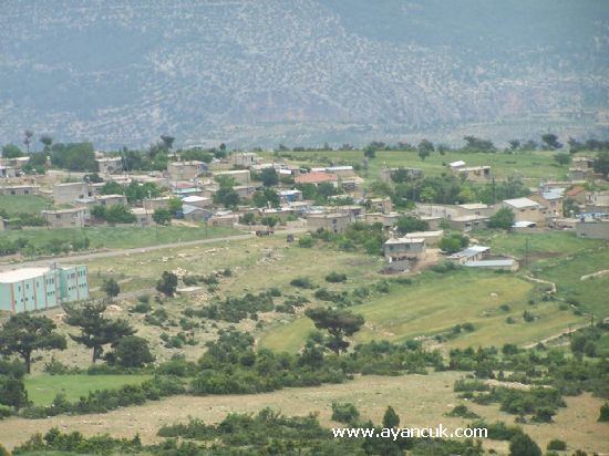 | ||
Hacıahmetli is a village in Mut district of Mersin Province, Turkey. At 36°40′N 33°35′E it is about 25 kilometres (16 mi) to Mut. The village is situated in Toros Mountains. The population of the village was 460 as of 2012. The foundation date of the village is not known. According to the Ottoman records of 1536, there was a nomadic Turkmen tribe (so called Yörük) around Hacıahmetli. But according to grave stones, the first settlement was around the early 1700s.
Map of Hac%C4%B1ahmetli Mahallesi, 33600 Mut%2FMersin Province, Turkey
References
Hacıahmetli, Mut Wikipedia(Text) CC BY-SA